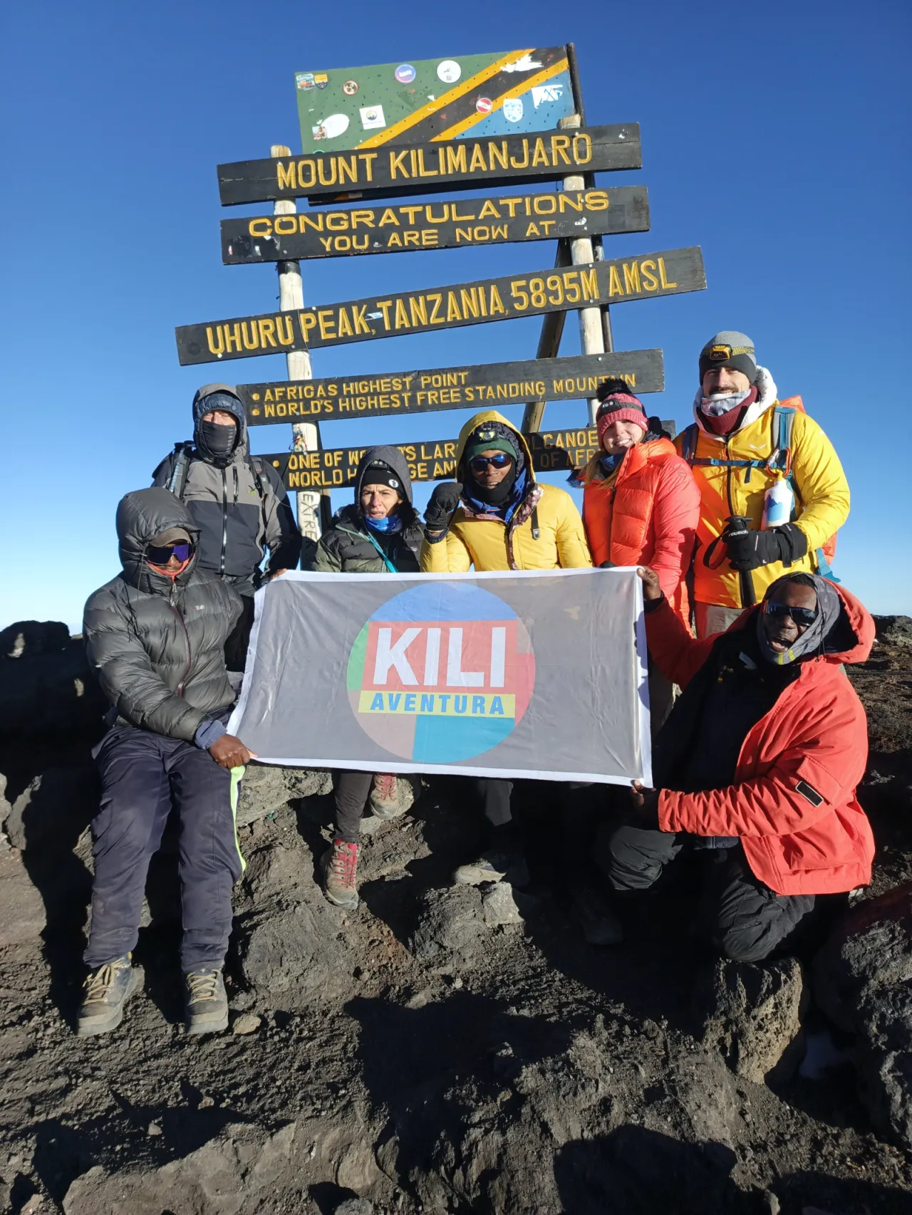
7-Day Lemosho Route
A seven-day version of the Lemosho: a quiet western forest start, the Shira Plateau, a long day via Lava Tower to Barranco, then the Barranco Wall, Karanga and Barafu before summit night. Lemosho scenery in Machame's time, with a harder third day.
- Duration
- 7 days
- Route
- Lemosho Route
- Highest point
- 5,895 m
- Difficulty
- Challenging
- Climb style
- Private
This seven-day Lemosho keeps the route's quiet western start and the Shira Plateau but fits them into the same number of days as a seven-day Machame. You register at Londorossi Gate, drive to the Lemosho trailhead (approx. 2,390 m), sleep at Mti Mkubwa and Shira 1, then cross the plateau and go straight over the Lava Tower shoulder to Barranco Camp on day three. From there it follows the southern traverse to Karanga and Barafu, with summit night into day six and the exit at Mweka Gate on day seven. As with any climb, plan on a hotel night in Moshi or Arusha before and after.
This day-by-day pattern (Mti Mkubwa, Shira 1, Barranco, Karanga, Barafu, then down) is the one followed by climbers in a 2018 PLOS ONE study of a seven-day Lemosho ascent, where daily hiking ranged from about 3 hours on day one to about 14 hours on summit day. The trade-off compared with eight days is that the night at Shira 2 is dropped, which makes day three long. What you keep is the gentle start (approx. 2,780 m, then 3,505 m), the Lava Tower climb-high-sleep-low effect and the short Karanga stage before base camp.
If you can add a day, the eight-day Lemosho is gentler. If you cannot, this is a sound way to get Lemosho's scenery and a better start than Machame in seven days.
Highlights
- Quiet western rainforest start at the Lemosho trailhead
- A gentler first two nights than Machame (approx. 2,780 m and 3,505 m)
- Crossing the Shira Plateau with Kibo ahead
- Lava Tower (approx. 4,630 m) climb-high-sleep-low day
- Barranco Wall scramble and the southern glaciers
- Short Karanga stage before base camp
- Uhuru Peak (5,895 m) at sunrise or soon after
Day 1: Londorossi Gate and Lemosho trailhead to Mti Mkubwa Camp
You leave Moshi or Arusha in the morning for the long drive round to the western side of the mountain. It takes several hours (approx. three to four, depending on your start point and the state of the roads), passing through farmland on the lower slopes. At Londorossi Gate your guide completes park registration while the crew weigh and share out the loads; park rules cap each porter's load at 25 kg. From the gate a rough forest track leads on to the Lemosho trailhead (approx. 2,390 m), where lunch is usually served.
The afternoon walk is short: about three hours through tall, moss-hung montane forest. This side of Kilimanjaro is far quieter than the Machame side, and it is common to have the trail almost to yourself. Black-and-white colobus monkeys are often seen or heard, and the forest is rich in birds. Larger animals such as buffalo live here too but are rarely seen from the path.
You reach Mti Mkubwa Camp (approx. 2,780 m), named after the big trees around it, in the late afternoon. It is damp and cool rather than cold. Settle in, drink plenty and get used to the rhythm of camp life.
- From
- Lemosho trailhead (after registration at Londorossi Gate)
- To
- Mti Mkubwa (Big Tree) Camp
- Altitude
- 2,780 m
- Walking
- 3–4 hours hours
- Distance
- 6.0 km
Day 2: Mti Mkubwa Camp to Shira 1 Camp
You leave the forest within the first hour or two and climb into the heath zone, where giant heather grows in dense, lichen-covered thickets. The trail is steady and at times steep as it climbs a long ridge. Stop and look back: on clear mornings the forest canopy spreads out below and Mount Meru stands to the west.
Around the middle of the day you crest the western rim of the Shira Plateau. This broad, high caldera is what remains of Shira, the oldest of Kilimanjaro's three volcanic peaks, which collapsed long ago. Kibo appears across the plateau for the first time as a white-capped dome, and the rest of the day's walk drops gently across open moorland to camp.
Sleeping altitude rises by roughly 725 m today, more than the 500 m a day that altitude guidance recommends, but still far gentler than the jump to about 3,850 m on Machame's second night. Shira 1 Camp (approx. 3,505 m) is open and windswept, and it is usually below freezing at night. Put your warm layers on as soon as the sun drops and have an early night: tomorrow is the long one.
- From
- Mti Mkubwa (Big Tree) Camp
- To
- Shira 1 Camp
- Altitude
- 3,505 m
- Walking
- 5–6 hours hours
- Distance
- 8.0 km
Day 3: Shira 1 Camp to Barranco Camp via Lava Tower
This is the day that pays for the shorter itinerary. You start early and walk east across the Shira Plateau on a gentle, open track, passing close to Shira 2 Camp (approx. 3,850 m), where eight-day climbers spend the night. Here the Machame trail joins, and the path becomes busier.
Beyond Shira 2 the trail climbs steadily into alpine desert, a landscape of scree and lava blocks with very little growing. You reach Lava Tower (approx. 4,630 m), a volcanic plug below Kibo's western glaciers, around midday or early afternoon. That is a gain of over 1,100 m from last night's camp, so a headache, nausea or low appetite is common. Eat and drink anyway, and tell your guide how you feel. The whole point is a short spell high up before sleeping lower.
The descent into the Barranco Valley takes roughly two to three hours (approx.), steep in places, through groves of giant groundsels and lobelias. Barranco Camp (approx. 3,960 m) sits beneath the Western Breach with the Barranco Wall opposite. You arrive tired, but you sleep about 455 m higher than last night, which is within altitude guidelines, and most people feel better by dinner than at lunch.
- From
- Shira 1 Camp
- To
- Barranco Camp
- Altitude
- 3,960 m
- Walking
- 7–9 hours (approx.) hours
Day 4: Barranco Camp to Karanga Camp via the Barranco Wall
After yesterday's long day, this one is short, and that is deliberate. It opens with the Barranco Wall: roughly 250 m (approx.) of steep, well-worn scramble that takes an hour or two. You use your hands for balance on several rock steps and hug the rock at the narrow "kissing rock" section. No ropes or technical skills are needed, and guides stay close to anyone who is nervous of heights.
Because Machame, Lemosho and Umbwe groups all leave Barranco in the same window, there can be queues at the base in the busy months. Your guide will choose a start time to avoid the worst of it.
From the top of the Wall the trail rolls east across ridges and gullies, with the Heim and Kersten glaciers above you and views south over the plains. A steep drop into the Karanga Valley and a short climb out bring you to Karanga Camp (approx. 3,995 m) by around lunchtime. The afternoon is free. Rest, eat well, keep drinking and use the time to check your summit kit. Karanga is the last reliable water source before the top, so the porters fill up here for Barafu as well.
- From
- Barranco Camp
- To
- Karanga Camp
- Altitude
- 3,995 m
- Walking
- 4–5 hours hours
- Distance
- 5.0 km
Day 5: Karanga Camp to Barafu Camp
A short, steady climb of about 675 m takes you through stark alpine desert to base camp. The path is dusty and rocky, with no shade and a growing wind as you gain height. Shortly before camp you meet the trail you will descend tomorrow, heading down towards Millennium and Mweka camps.
Barafu Camp (approx. 4,670 m) is strung along a bare rocky ridge. The name means "ice" in Swahili, and nights here are properly cold. Tents are pitched on uneven ground between boulders, so move carefully around camp, especially after dark.
The afternoon is for rest and preparation. Your guide will run a health check, often including a pulse oximeter reading, and give a summit briefing: timings, pace, what to wear and what to carry. Lay your clothes out in the order you will put them on and keep water bottles, snacks, phone and spare batteries inside your sleeping bag so the cold does not ruin them. Dinner is early, and you should be lying down by about 19:00. Sleep will be patchy; resting still counts.
- From
- Karanga Camp
- To
- Barafu Camp
- Altitude
- 4,670 m
- Walking
- 3–5 hours hours
- Distance
- 4.0 km
Day 6: Summit day: Barafu Camp to Uhuru Peak, down to Mweka Camp
You are woken around 23:00 for tea and a light snack, and start walking at about midnight. The climb to Stella Point on the crater rim gains roughly 1,080 m on endless switchbacks through scree and rock between the Rebmann and Ratzel glaciers. Your world shrinks to the boots ahead of you in your head-torch beam. The pace is very slow, with short breaks. Most groups need six to seven hours (approx.) to reach the rim, and temperatures are usually well below freezing, with wind chill on top.
Most climbers reach Stella Point (approx. 5,756 m) around sunrise, when the light spreads over Mawenzi and the cloud below. The walk along the rim to Uhuru Peak (5,895 m) takes a further 45 to 60 minutes past the southern icefields. You stay long enough for photos, then turn round.
The descent to Barafu takes two to three hours on loose scree. After a rest and a meal you walk on for roughly three to four hours (approx.) down the Mweka trail to Mweka Camp (approx. 3,100 m). In the 2018 study of this itinerary, summit day ran to about 14 hours. That is typical: it is long, and everyone is tired at the end.
- From
- Barafu Camp
- To
- Mweka Camp
- Altitude
- 3,100 m
- Walking
- 12–16 hours hours
- Distance
- 17.0 km
Day 7: Mweka Camp to Mweka Gate
The last day is all downhill. From Mweka Camp you descend roughly 1,460 m through the upper heath and then dense, dripping montane forest on a steep path with many earth and log steps. It is tempting to rush now that the air feels thick and easy, but tired legs and wet roots are a bad mix. Walking poles take a lot of strain off your knees.
Listen for birdsong and watch the treetops for blue monkeys and black-and-white colobus near the lower trail. In the rainy months the path is muddy and slippery, so keep gaiters on and take your time.
At Mweka Gate (approx. 1,640 m) your guide signs you out of Kilimanjaro National Park, and climbers who reached Stella Point or Uhuru Peak are given their summit certificate. The crew usually gather here to say goodbye, and this is where tips are traditionally handed over. A vehicle takes you back to your hotel in Moshi or Arusha, typically by early afternoon, where a hot shower and a real bed feel like luxury after six nights in a tent.
- From
- Mweka Camp
- To
- Mweka Gate
- Altitude
- 1,640 m
- Walking
- 3–4 hours hours
- Distance
- 10.0 km
Frequently asked questions
Is the 7-day Lemosho better than the 7-day Machame?
Lemosho starts lower and gains height more gradually over the first two nights, and it crosses the Shira Plateau, which Machame only touches. The cost is a long third day via Lava Tower and a longer drive to the start. Both itineraries share the same camps from Barranco onwards.
Which camp does the 7-day Lemosho skip?
This version skips the night at Shira 2 Camp and walks from Shira 1 to Barranco via Lava Tower in one day. Some operators instead keep Shira 2 and skip Karanga, which makes the day to Barafu longer. Ask which camp is dropped before you book.
What is the hardest day on the 7-day Lemosho?
Summit day is the hardest, at roughly 12 to 16 hours from the midnight start to Mweka Camp. Day three is the second hardest: a long walk across the Shira Plateau and up to Lava Tower (approx. 4,630 m), then down into the Barranco Valley.
Should I choose 7 or 8 days on the Lemosho Route?
Choose eight days if you can. The extra night at Shira 2 splits the long third day in two and gives one more night of acclimatisation. Seven days suits climbers who are short of time but still want Lemosho's quieter start and scenery.