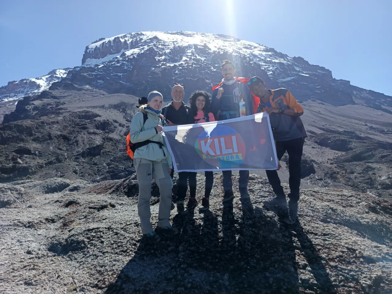
7-Day Rongai Route
Kilimanjaro from the quiet northern side with a rest day at Mawenzi Tarn: Simba Camp, Kikelewa, two nights at the tarn, across the Saddle to Kibo Hut, summit via Gilman's Point, then down the Marangu trail.
- Duration
- 7 days
- Route
- Rongai Route
- Highest point
- 5,895 m
- Difficulty
- Moderate
- Climb style
- Private
The seven-day Rongai Route is the stronger of the two common Rongai itineraries. It starts at Rongai Gate (approx. 1,950 m) near the Kenyan border and camps at Simba Camp (approx. 2,625 m) and Kikelewa (approx. 3,600 m) before two nights at Mawenzi Tarn (approx. 4,330 m) beneath Mawenzi's cliffs. From there you cross the Saddle to camp near Kibo Hut (approx. 4,720 m), summit Uhuru Peak (5,895 m) via Gilman's Point on the night of day five, and descend the Marangu trail to Marangu Gate. Plan on a hotel night in Moshi or Arusha before the climb for a briefing and kit check, and one afterwards.
It suits climbers who want quiet trails, gentle gradients and no scrambling, and it is one of the better options in the rainy months, because the northern slopes typically get less rain than the south.
The acclimatisation logic is straightforward. The early days rise gradually, day three makes a big jump of about 730 m to Mawenzi Tarn, and the rest day with a higher walk is there to absorb it. This profile, with the summit attempt on day six, matches the best published Rongai study (Lawrence and Reid, 2016): of 175 trekkers, 88% reached the summit, and acute mountain sickness was less common than in earlier studies of four- and five-day climbs.
Highlights
- Rest day and acclimatisation walk at Mawenzi Tarn
- The only route that climbs Kilimanjaro from the north
- Quiet camps for the first five days
- Typically drier than the southern routes in the rainy months
- Gentle gradients and no scrambling on the ascent
- Summit via Gilman's Point and Stella Point to Uhuru Peak (5,895 m)
- Descend the Marangu trail through a second side of the mountain
Day 1: Rongai Gate to Simba Camp
Day one starts with the longest drive of the climb. Rongai Gate (approx. 1,950 m) sits on Kilimanjaro's northern side close to the Kenyan border, so from Moshi you drive east and then north around the mountain's lower slopes, through farming villages and small towns. Allow several hours (approx. 3–4 from Moshi, longer from Arusha).
After the paperwork and weighing of porter loads, you start walking in the early afternoon, often after lunch at the gate. The trail begins at the edge of farmland and plantation, then climbs gently through a narrow belt of forest. The north side gets less rain than the southern slopes, so the forest is thinner and the path usually drier than on Machame or Marangu. Expect 3–4 hours (approx.) of easy walking.
Simba Camp (approx. 2,625 m) sits at the edge of the heath, with open views north over the plains towards Kenya. The crew will have tents up when you arrive. On a clear evening you may see the lights of settlements far below. It is your first night under canvas, so ask your guide to check your sleeping kit before it gets cold.
- From
- Rongai Gate
- To
- Simba Camp
- Altitude
- 2,625 m
- Walking
- 3–4 hours hours
Day 2: Simba Camp to Kikelewa Camp via Second Cave
This is the longest day before the summit, and a steady one. The path climbs through open heath and moorland on the broad northern slopes, with Kibo's rounded dome ahead and, behind you, a wide view back over the plains. Plants change as you gain height: giant heather gives way to grasses, everlasting flowers and scattered giant groundsels. Expect 6–7 hours (approx.) of walking at a slow, even pace.
Lunch is usually taken around Second Cave (approx. 3,450 m), one of several rock overhangs on this side of the mountain. From there the trail leaves the direct line to Kibo and cuts across the moorland towards Mawenzi, whose jagged spires grow steadily closer through the afternoon. Some itineraries stop at Second Cave for the night instead; this one continues to Kikelewa.
Kikelewa Camp (approx. 3,600 m) lies in a sheltered valley among giant groundsels. You have gained almost 1,000 m today, so a mild headache this evening is common. Mention it to your guide, drink plenty and eat your dinner even if your appetite is dull. The night is colder here than at Simba; wear a hat to bed.
- From
- Simba Camp
- To
- Kikelewa Camp
- Altitude
- 3,600 m
- Walking
- 6–7 hours hours
Day 3: Kikelewa Camp to Mawenzi Tarn
A short, steep day. From Kikelewa the trail climbs directly up grassy ridges and then rocky slopes towards Mawenzi, leaving the last of the moorland behind. It usually takes 3–4 hours (approx.), and you should arrive at camp in time for lunch. Go slowly on the steeper sections; this is not a day to push.
Mawenzi Tarn Camp (approx. 4,330 m) is one of the most striking campsites on Kilimanjaro: a small lake in a rocky bowl directly beneath the cliffs and spires of Mawenzi, the mountain's second summit. Mawenzi itself is a technical climb and not part of your route. In the afternoon your guide will usually take you on a short, gentle walk above camp to help your body adjust before you sleep.
Be aware of the numbers. Today adds about 730 m of sleeping altitude, more than the 300–500 m per day above 3,000 m that Wilderness Medical Society guidance suggests. On this seven-day plan you stay here two nights, which is what makes up for today's big step. Nights here are cold, often below freezing, and the tarn can freeze at the edges.
- From
- Kikelewa Camp
- To
- Mawenzi Tarn Camp
- Altitude
- 4,330 m
- Walking
- 3–4 hours hours
Day 4: Acclimatisation day at Mawenzi Tarn
Today you stay at Mawenzi Tarn Camp (approx. 4,330 m) for a second night, and this day is the main reason seven days on Rongai beats six. After a later breakfast you walk up onto the ridges and lower slopes below Mawenzi, climbing a couple of hundred metres (approx.) above camp, spending some time there, then returning for lunch. Expect 2–4 hours (approx.) of walking, at the slowest pace of the whole climb.
The logic is climb high, sleep low. Your body gets a stronger signal to adapt from the higher walk, but you sleep at the same altitude as last night, which is gentler than moving camp. After yesterday's jump of about 730 m, a full day at this height gives headaches time to settle before you move up to Kibo.
The rest of the day is quiet: reading in the tent, washing, eating and drinking, and watching the light change on Mawenzi's cliffs. On a clear evening the view east over the plains is wide and empty. Your guide will check on how you are doing at dinner. Tell them honestly how you feel; this is when small problems are easiest to deal with.
- From
- Mawenzi Tarn Camp
- To
- Mawenzi Tarn Camp
- Altitude
- 4,330 m
- Walking
- 2–4 hours hours
Day 5: Mawenzi Tarn to Kibo Hut across the Saddle
You leave Mawenzi's cliffs behind and cross the Saddle, the broad, almost barren plain of gravel and lava between Mawenzi and Kibo. The gradient is gentle and the altitude gain small, about 390 m (approx.), but the walk is long and exposed: expect 5–6 hours (approx.) with little shade and often a strong, cold wind. Sunglasses, sunscreen and a buff over your face make a real difference. The summit cone of Kibo fills more of the view with every hour.
Rongai climbers camp near Kibo Hut (approx. 4,720 m), where you join climbers coming up the Marangu Route for summit night. From camp you can see the zigzag path up the scree towards Gilman's Point that you will climb in the dark. After two nights at Mawenzi Tarn, most people reach Kibo in better shape than on the six-day plan, though headaches and poor sleep are still common here.
Arrive, eat, rest. Dinner is early, around 17:00, followed by a summit briefing covering layers, head torch, water bottles kept inside your jacket so they do not freeze, and snacks in an easy pocket. Then you try to sleep for a few hours, dressed warmly, before the wake-up call.
- From
- Mawenzi Tarn Camp
- To
- Kibo Hut campsite
- Altitude
- 4,720 m
- Walking
- 5–6 hours hours
Day 6: Summit night: Kibo Hut to Uhuru Peak, down to Horombo
The wake-up comes around 23:00 with tea and biscuits, and you leave near midnight by head torch. The climb from Kibo Hut is close to 1,200 m of steep scree and loose gravel on tight switchbacks, past Hans Meyer Cave (approx. 5,150 m). Walk slowly and steadily behind your guide. It is usually well below freezing, and wind makes it feel colder.
Gilman's Point (approx. 5,680 m), on the crater rim, is typically reached around dawn after 5–6 hours (approx.), with a few easy rock steps near the top. The sunrise over Mawenzi from here is the reward for the dark hours. The path then follows the rim past Stella Point (approx. 5,756 m) to Uhuru Peak (5,895 m), another 1.5–2 hours (approx.), with glaciers and the crater beside you. Photos at the summit sign are brief, because the cold and altitude make lingering unwise. Your guide will turn anyone back at any point if symptoms worsen.
You descend the scree quickly to Kibo Hut for a rest and food, then continue down the Marangu trail across the Saddle to camp at Horombo (approx. 3,720 m). In total the day is often 11–15 hours (approx.). You will sleep deeply tonight.
- From
- Kibo Hut campsite
- To
- Horombo
- Altitude
- 3,720 m
- Walking
- 11–15 hours hours
Day 7: Horombo to Marangu Gate
The final day follows the Marangu trail down to Marangu Gate (approx. 1,860 m), about 20 km (approx.) and usually 5–7 hours (approx.), with a break near Mandara Hut. This is where Rongai shows its second face: after days on the dry northern slopes, you drop through the heath and moorland of the south-east and into dense, green montane forest, often with colobus monkeys in the trees and mud on the path.
It is a descent of nearly 1,900 m, so your knees will notice. Use walking poles, take short steps on the rocky sections and go carefully on the wet forest trail. The thick air makes breathing easy again, and most people's appetite and energy return by mid-morning.
At Marangu Gate, which is also the park headquarters, you sign out of the register and successful climbers receive their summit certificate. This is usually where you thank your crew and say goodbye; our tipping guide explains how that normally works. The drive back to your hotel in Moshi or Arusha is much shorter than the drive to Rongai Gate was.
- From
- Horombo
- To
- Marangu Gate
- Altitude
- 1,860 m
- Walking
- 5–7 hours hours
- Distance
- 20.0 km
Frequently asked questions
Why add a rest day at Mawenzi Tarn?
The day before, you gain about 730 m of sleeping altitude, more than altitude-medicine guidance suggests. A second night at Mawenzi Tarn (approx. 4,330 m), with a walk higher in between, gives your body time to catch up before Kibo Hut and summit night.
What is the success rate on the 7-day Rongai Route?
There is no official route-wide figure. The best published data comes from a 2016 study of 175 trekkers on a Rongai climb that summited on day six, the same profile as this itinerary, in which 88% reached the summit.
Is the 7-day Rongai better than the 7-day Machame?
For acclimatisation they are broadly similar. Rongai is quieter, gentler and typically drier; Machame has more varied scenery and the Barranco Wall scramble. Compare them on the route comparison page.
Does the Rongai Route have Second Cave camp?
Some itineraries camp at Second Cave (approx. 3,450 m). This one passes it at lunchtime on day two and uses Kikelewa Camp and a rest day at Mawenzi Tarn instead.